What a beautiful day to hike Mt. Eisenhower! One challenging water crossing but well worth the terrific views of the mountains covered with newly fallen snow!
Steve VanSeters prepared an amazing video of our hiking over the past year (Oct 2022-Oct 2023). The intention was to debut the video at our end of year celebration, which was cancelled due to concern of the recent rise in Covid for our area. The video is just wonderful to watch... A lovely reflection of so many trails, vistas and good times with friends and fellow Over the Hill Hikers.
Many thanks to Steve for this video, and to all who help keep the OTHH going strong. To each of you who led a hike, a walk, or hosted a soup and snowshoe, THANK YOU! To all of you that drove us to trailheads and returned us safely to our parked cars afterwards, Thank you! And of course, to each of you who keep the A, B's, Turtles, Walkers, Snowshoers, Blog, Cookies, Cakes, and bubbly going, a very special thanks. It certainly takes a village... and we have a great one that we continue to celebrate since 1979.
This year, we said goodbye to some hiking friends. I take a moment to think of Doug Butler, David Stuntz and Charlie Kuehn, as well as their families. And I also remember the young woman, Emily Sotelo who died just before turning 20 while attempting a winter traverse chasing her goals.
I think back to our spring gathering when we kicked off the season with our guest speaker "Bailey", from the US Forest Service sharing some excellent tips on how to be better trail stewards. It made me mindful throughout the year, and when I was coming down Lafayette this past August, I was especially impressed with the amount of trail work happening. I made a point to say thanks to each trail worker I saw on my way down. Next spring, I've arranged to have a presenter for trail side First Aid, a date will be established after the New Year, and announced as we get closer. More to follow...
We had a lot of amazing accomplishments throughout the year. In the A group, Dick Russell completed his 7th round of hiking the 48 4,000 footers (Dick will turn 80 in December), Pam Alexander completed her 7th round of the 48 4,000 footers, and Bernie Monbouquettecompleted his round of the 48 4,000 peaks. This summer Pam and Larry both finished their 52 With A View on Mt. Success. In September, 6 others from the B group finished their 52 With a View on North Percy; Deb and Andy Wiacek, Jane Smits, Tracy Ripkey, Leanne Tigert, and Steve VanSeters.
The Turtles continue to organize and plan hikes and walks, challenging themselves with more demanding trails.
In the next month, Cathy Crooker will be organizing the upcoming Soup and Snowshoe season. If you would like to offer hosting a date at your house, or co-hosting / organizing a snowshoe, please feel free to reach out to Cathy at: CatherineCrooker@gmail.com.
And Lastly, I also want to express a special thanks to Jane Smits for all she did to get the gathering started. We both agreed that while canceling was a difficult decision, it did feel right. Jane, thank you again for all your hard work, and great spirit. I hope that next year we can party on like rock stars!
In closing, Happy Fall. I hope you have a wonderful holiday season, and I send my best to you and your family. May peace, health and love surround you. Thanks for a great hiking season!
Sincerely,
Tracy Ripkey
Wednesday, October 18, 2023
On Oct. 17, a group of Turtle hikers climbed North and Middle Sugarloaf. They had a great time and saw some nice color between the clouds and the interesting boulders.
Lin, Deb, Ritva, John, Paul, Jane, Nancy, Mary, Karen, Patsy
Karen, John, Nancy, Paul, Deb, Jane, Mary, Ritva, Patsy, with Lin in front
Saturday, October 14, 2023
On Oct. 13, the Friday Walkers walked at Castle in the Clouds -- mostly the Settlement Trail.
Beginning of Cold Spring Road with the pumpkins set-up for the evening Pumpkin Walk
On the left, LtoR: Hetty, Lea, Kathy, Cheryl
On the right, LtoR: Ricky, Anne, Jorge, John, Mary, Peter, Susan
It was a cool but mostly cloudy fall day for a hike up the Blueberry Ledge Trail to Mt Whiteface. We went the 0.3 mile extra past the open ledge spot "up top" (which many have mistaken as the summit) to the very small summit cairn of Whiteface. There Dick and Katherine had a quick lunch, surrounded by trees (no view at the actual summit), then retraced back to the viewpoint and on down. Meanwhile, Pam and Laura, who had gone on ahead, finished the trip over the Rollins Trail to Dicey's Mill Trail, up to Passaconaway, and down DM to the cars (and beat Dick & Katherine there!).
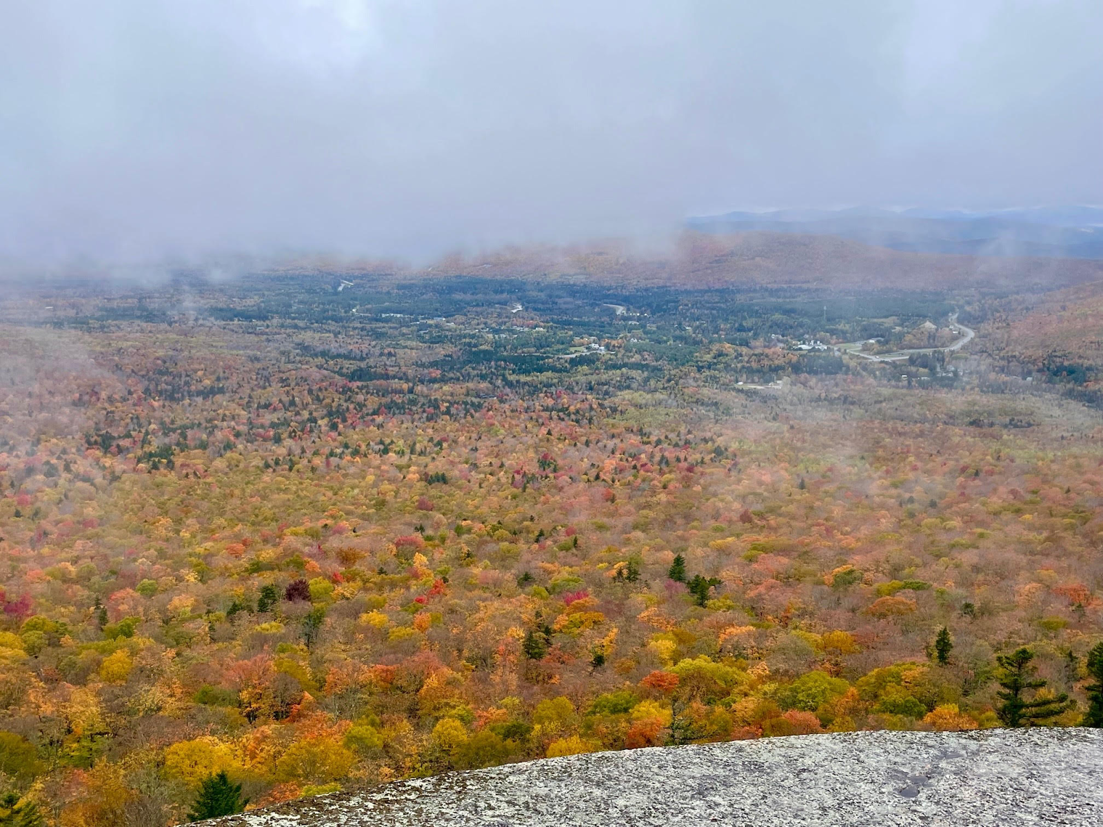
Below is an interesting shot looking out from one of the open ledge areas below the "top" one. The Ossipee Range can be seen in the distance poking up above the clouds.