Wednesday, July 23, 2025

B group hikes Mt. Monadanock, July 23rd

 Tracy, John, Cathy, Ann, Steve J. and Griff enjoyed a hike up the Dublin trail to the summit of Mt. Monadanock.  This route is a bit rugged, but is a good choice in regards to the number of hikers you see.  You may be more likely to hear and see the logging operation taking place, but even that is not a huge deal, as they're doing a nice job keeping the integrity of the trail.  We were so happy with the weather, low humidity, and a nice breeze.  I'd say it was a solid 10.


B group hikes Morgan & Percival, June 26, 2025 (late entry)

A nice hike up Percival and Morgan to enjoy the lake views.  We skipped the caves and ladders, but had a wonderful hike.  Lot's of kids from camp were out, we saw two sets of young folks, one boys camp and a group of girls.  Nice to see so many people enjoying the trails.  Fun to hear all the, are we there yet, questions.  

John, Ginger, Susan, Mary and Tracy 


July 22, 2025 - Whiteface & Passaconaway

 Eight of the A group hikers had a great (cooler, low humidity, sunny) day for a hike up Whiteface, with six of us continuing on to bag Passaconaway also. There actually seemed to be four different hike groups, with different starting times. Deb & Andy started earliest, followed by Pat and Dick, then Hilary and Cynthia, and finally Pam and Doug. Those who have gone up Whiteface using the Blueberry Ledge Trail will remember a series of  challenging rock face climbs high up on the mountain. Below is Pat part way up one of the least difficult of these. A minute later gave us one of the great views from the open ledge areas up high, with Mt Passaconaway standing prominently to the left of center.


Pam and Doug passed first the Hilary/Cindy pair and later caught up to Pat and Dick as the latter pair had finished snacking at the open ledge view area often mistaken by hikers as the top of Whiteface. This is where the Rollins Trail starts northward, passes over the wooded actual Whiteface summit 0.3 mile from that "view summit," and eventually curves eastward. From the actual Whiteface summit, Rollins finally ends about 2.5 miles later at the Dicey's Mill Trail, where Pat and Dick met up with Deb and Andy, who already had been up the 0.9 mile remainder of Dicey's Mill to the Passaconaway wooded summit (no view there). Deb and Andy continued downward, while Pat & Dick went on and up to bag Passaconaway, passing Pam and Doug again as the latter pair were on the way back down. The descent from Passaconaway to the parking area at Ferncroft is fairly easy hiking, although 4.6 miles at the end of an already long hike makes for an exhausting day on foot.

Hilary and Cindy, having planned to do just Whiteface, went back down to Ferncroft the way they had ascended.

 On July 22, the Turtles hiked the Brooks Fisher trail in Holderness.   We all enjoyed the view of Squam and the Rattlesnakes, and then some of us headed back down while others continued on to Mt. Webster.  A wonderful hike with perfect weather!


Lorraine, Karen, Tracy, Ricky, John, Linda, Irena

Photographer:  Jane


The Mt. Webster group:  Linda, Karen, Irena, Lorraine

Photographer:  Tracy

Friday, July 18, 2025

 On July 18, the Friday Walkers hiked Rainbow Falls and then Quincy Bog.  Here's a picture of the group at Rainbow Falls -- though unfortunately you can't see the waterfall.  (It was actually quite pretty.  Not surprisingly, it had more water than is typical for the middle of July.)


John, Nancy, Jane, Charlie, Ricky, Kathie, Scott

Wednesday, July 16, 2025

July 15, 2025 - Liberty and Flume

Taking advantage of the relative cool early morning woods, seven of the A group, plus two starting later, headed up the paved bike path from near the Flume Gorge, to the start of the Liberty Spring Trail. This trail is fairly easy hiking at first, but after climbing gradually for over a mile it goes up a steeper, boulder strewn section that seems never to end. Finally, we came to the Liberty Spring tent site, a good place to pause. A notice posted by the site caretaker said that there was a "bear incident" at 4:25 that morning! It was not specific as to the nature of the "incident" and we hoped it wasn't a camper dragged off and not his package of Hostess Twinkies. Then it was on and up to the Franconia Ridge, and the final 0.3 mile ascent to the top of Mt Liberty (4459 ft). Following a short snack break, we took the ridge trail the 1.2 mile descent/ascent to Mt Flume (4328 ft), where we had lunch. Partly due to the high humidity and partly due to lingering smoke from the western Canada wildfires, the views weren't their normally stunning panoramas. Still, being up on a high ridge always is impressive.

Then it was time to begin the return trek, off the Flume summit, over and finally back up to just below the top of Liberty, then to the top of the Liberty Spring Trail. That boulder-strewn next mile was slow-going, and all of us were glad to be off that part and back to a more easily traveled trail. It was interesting to note the several large groups of young folks (camp groups?) heading up toward both peaks, plus one that we let pass as they headed down, at a pace we older hikers may remember being able to do when we were that young. 

We had advanced warning from Pam and Doug, who were down well in advance of us, that they had encountered a bear on the trail, a short way up from the bike path. They backtracked and took an alternate route the remainder of the way to the bike path. It was some time before the rest of us got that far, so we stayed on the trail, keeping our eyes out as we descended. No Yogi for us. Having that 0.7 mile return trip along the bike path and back to the cars behind us was a relief. It had been a long day in warmth and humidity (per Alltrails, that was 9.4 miles, 4143 ft elevation gain.)

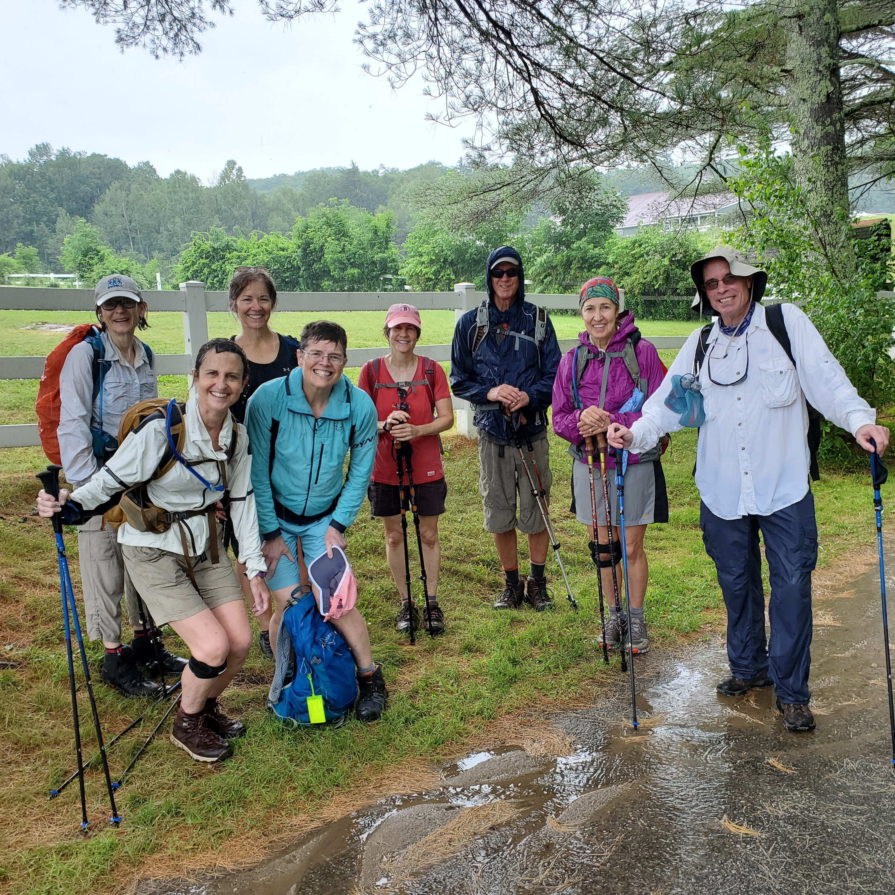
Below are Pat, Barbara, Marie, Jane, Michele, and David at the bridge on the bike path early in the hike (pic by Dick). I don't think we looked that fresh at the end.

Larry completed the hike on Wednesday.


Here's a picture of the bear that Pam and Doug encountered near the bottom of the Liberty Spring Trail. The bear was not intimidated by yells or whistles that we made which was a bit disturbing as most Black Bears run away from human interaction. This bear just kept meandering up the trail, forcing the five hikers (Pam, Doug and three other hikers that were coincidently there at the same time) to go back up the trail about a quarter of a mile until we could take the bushwhack down to the Pemi Trail. The bear started to follow us down that trail until he came to a spot where one of the five hikers had thrown up due to being nervous about the presence of the bear. My guess is that the bear was in the 250 to 300 pound range. (Another guess is that this guy realized that he was the slowest runner of the five!!) Four other hikers coming down the LS trail were held up at the trail junction for a few minutes until the bear followed us down the bushwhack. All ended well.


 On July 15, the Turtles offered two different hiking options.

One group hiked to Crockett's Ledges at Hamlin-Eames-Smyth Recreation Area in Meredith:


Irena, Jane, Jorge, Mary, Christine

And they saw a turtle on the trail -- very appropriate! 


The other group hiked the Morgan-Percival trail.  (And they did see a sign for Turtle Crossing!)


Chris, Brian, Lorraine, Karen

Monday, July 14, 2025

 On July 8, the Turtles hiked the Rattlesnakes in Holderness.  One group hiked to the top of West Rattlesnake and back down, while the other group took the Ridge Trail to East Rattlesnake.


Ritva, Nancy, Lisa, Karen, Mary M, Mary D, Lorraine, Tracy, Jorge, Brian


A lovely view, as always!


Friday, July 4, 2025

B group hikes Mt. Roberts, July 3rd, 2025

The hike up Mount Roberts started well with some hazy views. As we got closer to the summit , dark clouds approached and we could hear some thunder. We made the decision to head back down. 
The photo shows everyone smiling despite not reaching the summit, being soaked through by the rain, and taking a wrong turn. All in need of a hot shower and a hot drink.
A tribute to the fortitude and patience of hikers. 

From Left to Right: Hilary, Anne, Donna, Katherine, Jean, David, Susan, and Mel


Tuesday, July 1, 2025

North & Middle Tripyramid - June 30, 2025

 A good number of us bagged North and Middle Tripyramid, on the ridge at the east side of Waterville Valley. The day gave us full sun, although we were deep in the trees for nearly all of the hike. We took a window in the weather with the temperature warm and humidity not too bad, for summer, although this was definitely a shorts hike. We (Pat, Marie, my son David, and I) went up from the Kanc, taking the Pine Bend Brook Trail up to the ridge. Just below the north peak, we met Larry, who had gone up the same trail, starting an hour ahead of us. Over at the middle peak, we encountered Doug, Pam, and Kit, who had gone up via the Sabbaday Brook Trail, which tops out at the col between the two peaks. Then it was back over the ridge to the north peak and down Pine Bend. The toughest parts of this route are the steeps going down from the north peak and then lower, down the steep head of the ravine just above the Sandwich Wilderness boundary, a considerable stretch over damp, slippery, partially or totally moss-covered boulders. Fortunately, the last two miles or more, below the boundary, are very easy and quickly covered. All told, for our part of the group, the outing took eight and a half hours, covering 9.6 miles with over 3400 feet of elevation gain, a nice hike but one to have behind us.

Below, at the middle peak, are Pat, Marie (standing above Pat), Dick, Pam, Doug, and Kit (pic by David).