
Then it was another 1.2 miles down and then back up to South Baldface. Since the rocks had dried after the previous day's rain, we opted to go continue on the Baldface Circle Trail, rather than the easier but wetter and mile longer Slippery Brook Trail. It may have been easier to take the latter, as going down the ledges was extremely slow, not recommended for either direction in wet weather. Below is a shot of what the "trail" looked like for a half mile.

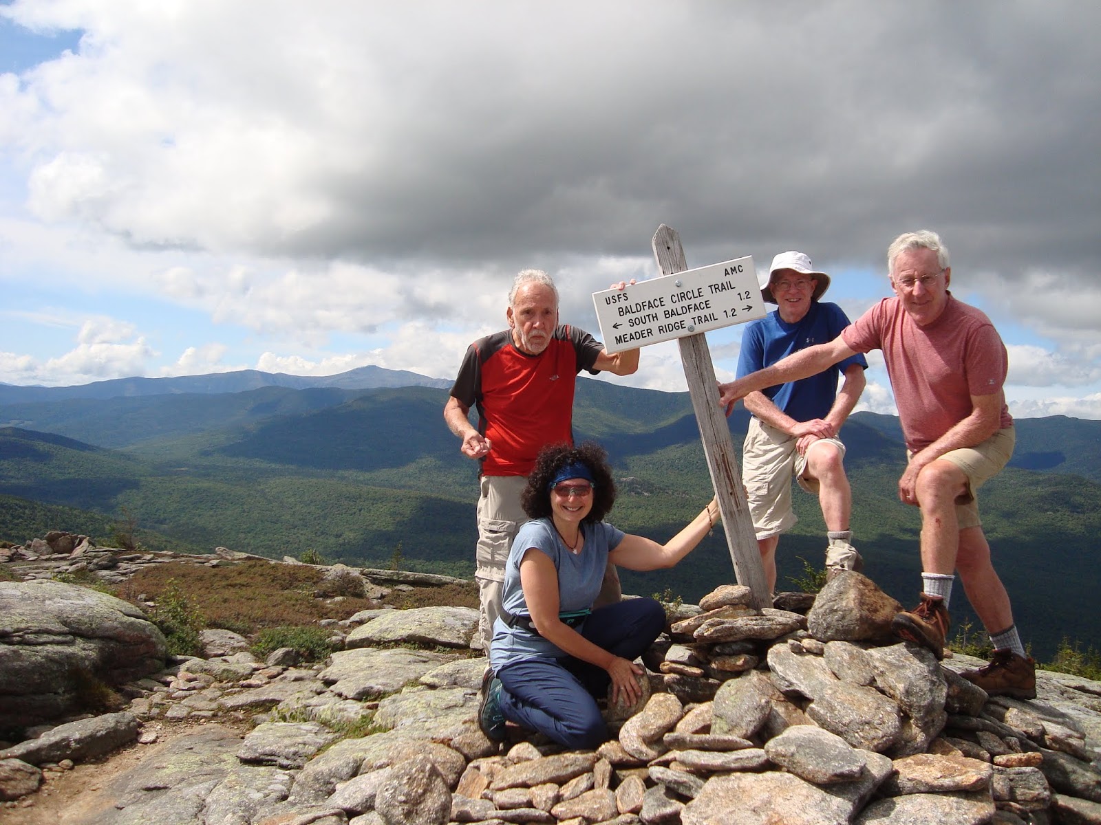
At 1.2 miles down from South Baldface (it seemed weird that so many of the distances between points on this trail were 1.2 miles), we came to the Baldface shelter. After that, the trail off the mountain was relatively easy walking.
No comments:
Post a Comment