
 |
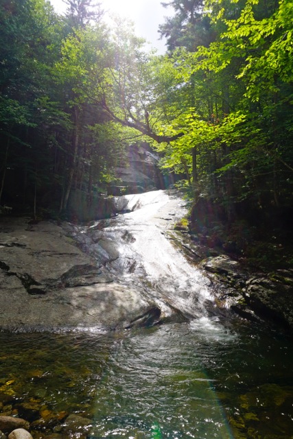
| 12 hikers and 5 dogs hiked to Bridal Falls on July 26th, 2016 |

 |
|
On the hike up the Coppermine trail the
group was looking for the plaque Betty Davis had placed on a rock for Arthur
Farnsworth who assisted her down the trail at some point years
ago. He was eventually her first husband. We found it, and I
recorded the GPS info for it.
Coordinates are as follows:
Elevation 1414 Ft
North 44 deg 10 min
30.6 sec
West 071 deg 44
min 20.7 sec
The map datum I used was WGS 84
|
No comments:
Post a Comment